
discover
experiences
what to do


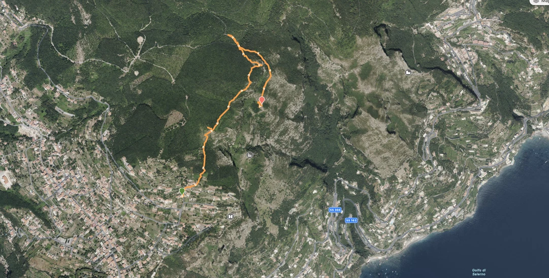
From Piazza Avitabile, head towards Punta Belvedere, and after 100 meters, turn left onto Via Radicosa, following the entire uphill stretch. Continue past a clear left curve and stay straight on the uphill road entering the village of S. Lucia. After the last houses, continue on a staircase.
Proceed on level ground, crossing a coppiced chestnut grove, and after approximately 200 meters, at the height of a centuries-old chestnut tree, turn right onto a mule track. After about 300 meters of gentle uphill, the path turns left and follows a rocky cliff. Passing the last houses, follow the medieval mule track that once led to Amalfi, passing through Cospita and Vettica Minore. After reaching the top of Mount Murillo, enjoy a panoramic view to the west, where the Agerola basin seems suspended over the Coast, and the island of Capri peeks out from behind the bulk of Mount Tre Calli.
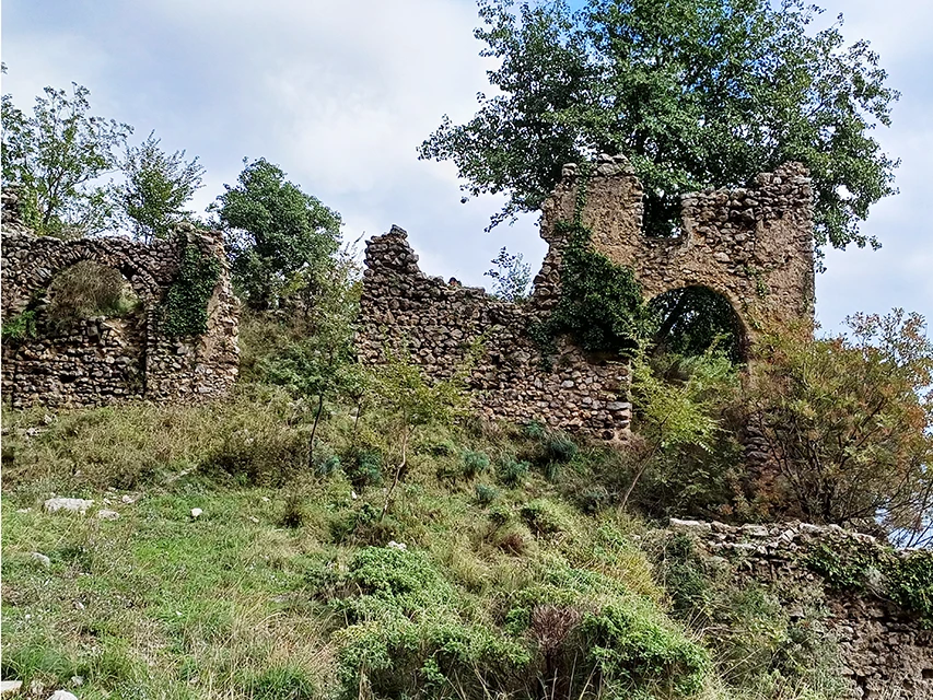
Once you change sides and start the descent, the landscape becomes more rocky and varied. The limestone layers, locally deformed by the forces of the Apennine orogeny, create vertical walls with caves and a small spire, which popular tradition identifies as a monk. At the bottom of a small, steep ravine, you’ll encounter a daring descent on rock that leads to the grassy ledge before the ruins of the monastery (already visible from above). From here, the descent along the vertical rock face is easy until you reach the flat area where the ruins are located.
The founding date of the convent is unknown, but it is documented from the 12th century and is said to have been visited by St. Francis of Assisi and Pope Sixtus IV. It was built on the cliffs descending from Mount Murillo to the Nocito gorge, in a setting that was certainly favorable for mysticism. Even the small cave in the upper part of the ruins (partly reshaped by humans) was likely a place for ascetic contemplation.
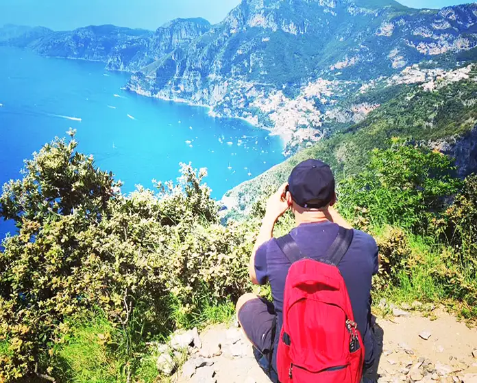
Today, even the most secular hiker is enchanted by the panorama visible from here over Amalfi (which appears very close below), Ravello, the Monti del Demanio, Capo d'Orso, and the azure waters of the Gulf of Salerno. After visiting the ruins, the return journey begins by following the same path back to the San Lazzaro district and Parco Colonia.
To book, fill out the form on this page
It is recommended to wear trekking shoes or sneakers and to carry in your backpack: trekking poles, hat, sunscreen, sunglasses, water 1 litre light lunch, snacks, or fruit.
The hiking guide reserves the right not to admit to the excursion those who do not prove to have the necessary physical, technical or clothing requirements. To change the paths in case of unexpected or adverse weather conditions.
WATER SUPPLY: Piazza Generale Avitabile, San Lazzaro, Agerola.
Hiking Guide of Lattari Mountains Park - Candida Esposito
Trekking guide insurance (civil liability)
Price 50 euro per person Personalized prices for groups, and family up 6 person by e-mail.
Return right of withdrawal and cancellation the following conditions of withdrawal: in case of cancellation of the reservation, will be charged the following cancellation charges: cancellation within 48 h 50% refund; in case of cancellation within 24 hours before or same day no refund.
Path for experienced mountaineers who are surefooted, have a good head for heights and are in ideal physical condition to take on the various stages, not recommended for those who are cardiopathic, have problems with pressure, or dizziness stages.
ATTENTION: For more info and tips to better deal with this type of excursion, see the page on the website "Mountain Safety & Advice".
The CAI has defined a difficulty scale based on the following characteristics: the surface of the terrain, the length of the route, the difference in altitude and altitude, the exposure, any orientation difficulties.

You can write to us for any need, if you have doubts about the excursion or if you would like to organize one personalized for your needs, let's talk!
Hello!
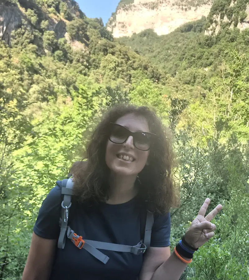
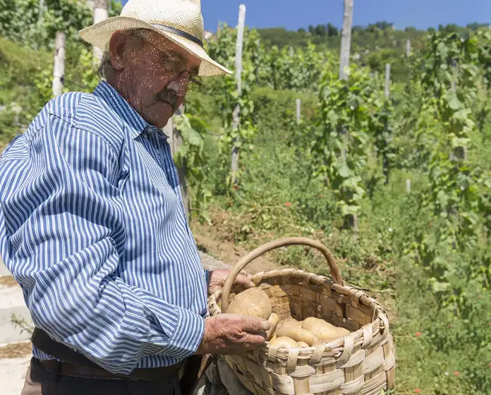
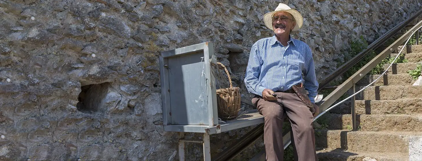
My name is Candida (Costa Natura Trekking) I am a trekking tour guide of the Regional Park of the Lattari Mountains.
I am a member of the CAI (italian alpine club) since 2022, Lega Ambiente, Slow Food Travel Amalfi Coast Community and Authentic Outdoor Amalfi Coast.
...


Proudly designed with CERBERUS INFORMATICA the amalfi coast visual website design.
